Geotechnologies and their role in the management of urban services
One of the Sustainable Development Goals (SDGs), SDG 11 to be precise, is to make cities more inclusive, safe, resilient and sustainable.
Not surprisingly, since 2007, more than half of the world’s population lives in cities, and by 2030, that figure is expected to rise to 60%.
Fortunately, we have tools such as geo-technologies that can help us move towards smart city environments in a simple and environmentally responsible way.
What is geo-technology?
Let’s start at the beginning by defining what we mean by geotechnology: it is a set of tools, methods, techniques and procedures aimed at managing Digital Geographic Information (DGI).
These methods and processes, such as georeferencing and geoprocessing, are grouped together in what we know as GIT, i.e. Geographic Information Technologies.

How do geotechnologies work?
Thanks to these engineering and software solutions, it is possible to collect, store, process, analyse and present geographic information, all for one purpose: to favour more effective decision-making in a multitude of areas such as the planning of protected spaces, territorial planning, urban service management, etc.
Examples
Now that we have laid the groundwork for geotechnologies, explaining what they are and how they work, it is time to get down to the nitty-gritty, looking at the tools and methods that make up this concept.
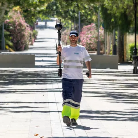
- Data collection: these are the tools that make it possible to obtain the information, such as, for example, sensors installed in cities, GPS, thermal cameras, satellite images, LiDAR, georadar, etc.
- Storage, geoprocessing and analysis: this is the next step in this process, we are talking about the databases that house the georeferenced data obtained, and a good example of these are the Geographic Information Systems (GIS), which allow the data initially collected to be transformed into valuable information for decision-making, as we mentioned a few lines above.
- Visualization of information: because what would become of the data collected if we did not have the right tools to view them and draw conclusions that can make our lives easier. This is the case of cartographic, interactive, digital supports, etc. to transmit the information to third parties, such as clients, and to make decisions.

Advantages
They say that data is the oil of the 21st century, and they are not far off the mark. Every day, and in each of our movements, we leave data and more data that companies in any sector (energy, logistics, security, urban services, retail…) can and want to use to better guide the strategic decisions they make with their products and services.
And if not, think about the route you take every day from work to home. It is a very interesting path that consumer and fashion companies use to launch stimuli to attract your attention, not to mention the trail you leave behind when you surf the Internet!
Application of geo-technology in urban services
What about the management and maintenance of urban services? Think about when you walk your pet, don’t you try to go down streets where there is better lighting or wider and more comfortable pavements? Everyone, all your movements are important, and in this case, public administrations, engineering companies and urban services maintenance companies are very attentive to the urban movements that you and the rest of the citizens carry out every day.
Not only with regard to street lighting or pavements, but also with regard to the rest of the urban services that make up the proper functioning of a municipality or city. We are talking about infrastructures such as sewage and drinking water networks, urban mobility, green areas and urban parks, etc.
In short, valuable information that geotechnologies help to treat and manage efficiently. Proof of this is the knowledge provided by Fisotec Solutions, experts in smart management of urban services, through solutions such as our latest generation urban inventories and indiva SaaS, an open source solution adapted to the needs of each city.