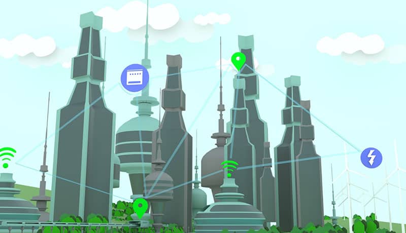
Technological solutions to become a Smart City
If we had to choose one concept, whose popularity has been growing steadily in recent years, we would have no doubt. We would choose the term Smart City. Everyone has heard and read about the revolution that smart cities have brought about.
However, referring to Smart City solutions goes beyond reflecting on how an urban environment applies Information and Communication Technologies (ICT) to facilitate the economic, social and environmental development of citizens.
It is about the commitment of public administrations, companies and citizens to align themselves with this concept in order to solve problems that require effective and immediate solutions and that affect the entire planet.

Real need for cities to comply with the Smart City concept
What are the challenges and difficulties that we must face with smart city solutions?
It is true, you may think that they are infinite, but as we always say, to problems, solutions, and technology has become a powerful ally in areas such as:
- Environment: developing initiatives that help to lessen the effects of climate change, and of course, to fight against them, tackling them as far as possible; promoting the responsible use of resources, such as drinking water, electricity supplies, etc.
- Accessibility: bringing the philosophy and technologies of smart cities closer to all citizens without exception, because accessibility is not an aspect that affects only part of the population, on the contrary, an accessible environment benefits us all: people with permanent or temporary disabilities, due to an accident or illness, those who move around with shopping trolleys, babies, suitcases, etc.
- Connectivity: it is of vital importance to have an optimal and quality connection that facilitates the correct functioning of aspects such as parking control, waste collection and transport, traffic density and the associated pollution, etc.
- Security: because talking about interconnectivity is also synonymous with other associated cyber risks, such as the theft of personal data, security breaches, etc.

Technology to become a Smart City
And now what? Because the theory is clear, but what happens in practice? How can technologies be used to ensure that a city is correctly labelled as a Smart City?
- Carrying out efficient urban planning
- Encouraging open data initiatives for the public
- Employing sustainable mobility and transport systems
- Saving water and energy resources by automating processes
- Facilitating online services and administrative procedures

Urban inventories
And speaking of smart city technology, if there is something that favours the efficient development of cities and municipalities, it is to carry out an adequate and effective collection and inventory of urban data, in order to make the right decisions in the management and maintenance of the urban fabric.
But how do we do it in Fisotec? By using high-precision algorithms, Big Data and state-of-the-art instrumentation to capture geographic data in the field, which is sent in real time to our offices for immediate processing, delivering accurate and quality information to the end customer. All this, through three types of inventory:
- Essential Inventory: Inventory fundamentally linked to GIS, and applied to more traditional data collection services in urban environments.
- Smart Inventory: Highly technological Inventory, which covers a demand focused on data collection for the generation of Digital Twins and BIM modelling.
- 360º Inventory: Inventory based on the use of Mobile Mapping systems for massive data capture, and on which Artificial Vision (AI), Machine Learning and Deep Learning algorithms are applied.
Indiva SaaS
And if a correct data inventory is necessary, indiva SaaS, the management software we have developed to save more than 30% in the maintenance of urban assets, is no less necessary. But in what way?
- Works management: for executing or planning public lighting renovation works, changing drinking water meters or other types of networks, knowing the planning status at all times.
- Decision-making: through a powerful GIS to carry out an exhaustive graphic analysis of the parameters of each project, exporting them to any format.
- Complete management of maintenance: contemplating the evolution and status of maintenance actions on the map, in a simple way and in real time.
Do you have any doubts? Contact us.
