Essential Inventory: Fisotec’s GIS for Urban and Rural Inventory Management
Fisotec’s Essential Inventory represents the renewed essence of the classic inventory, highly specialized in urban infrastructure. Designed to quickly and efficiently adapt to each client’s specific requirements, this system stands out for its ability to collect and process data in real time. Based on powerful GIS algorithms, it ensures exceptional quality in the information delivered.

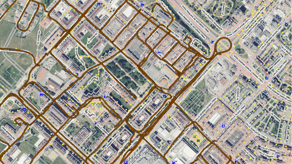
What is the Essential Inventory – GIS?
The Essential Inventory – GIS is an advanced urban data management system that facilitates the organization and analysis of infrastructure information in both urban and rural environments. With over 1000 TB of data processed, this inventory becomes a fundamental tool for decision-making and effective planning.
Over a Decade of Innovation in Urban Inventories
With more than 15 years of history, Fisotec has positioned itself as a leader in the urban and rural inventory sector. The company has built its reputation by offering detailed services ranging from lighting and energy to urban planning and sanitation, adapting to the changing dynamics of cities and territories.
Fisotec relies on the most advanced technology to carry out its work. Through the use of high-precision algorithms, Big Data, and Deep Learning, and with the help of modern tools such as tablet PCs, topographic equipment, and drones, Fisotec sets a new standard in data inventory.

Quality and Customer Satisfaction
Collaboration with more than 100 municipalities and 40 service companies, along with over 500 consulting services provided, underscores Fisotec’s commitment to quality and customer satisfaction. The precision of measurements and broad geographic availability stand out in its customer-centered approach.
Specialized Tools: QField and ArcGIS Field Maps
The QField and ArcGIS Field Maps tools are integrated into the process to ensure high quality and accurate data. QField specializes in the digitization and editing of data both online and offline, while ArcGIS Field Maps provides efficient and real-time data capture and editing, essential for current consulting and planning.
Success Stories that Endorse the Effectiveness of the Essential Inventory
Digital Street Mapping Update in Málaga
Updating the Digital Street Map in 35 municipalities of the Málaga province was a landmark project. The postal number of all homes was updated, a critical detail for emergency services like 112. The process included a meticulous manual review and verification using GIS of various layers of georeferenced data. The result? A unified digital street map for Andalusia (CDAU) updated and rigorously checked that significantly improves the efficiency of emergency and location services.
Public Lighting Inventory in Madrid
Fisotec undertook the update of an extensive public lighting inventory in Madrid, encompassing 94,000 light points. This work involved data collection in the field for the review and update of lighting infrastructure, control centers, and manholes. This led to a completely updated data set that optimizes the management and maintenance of public lighting assets, reducing costs and improving energy efficiency.
H3. Drinking Water Inventory in Granada
The inventory in Granada was a project focused on 14,000 drinking water connections, updating the total data of the sanitation network and reviewing associated infrastructure in the field. What did Fisotec achieve? Accurate and up-to-date data that allows for more effective maintenance of sanitation and water supply networks, ensuring quality and reliability in service to citizens.

Database Updates Across Multiple Municipalities
Fisotec has applied its expertise in the review and updating of spatial databases in various municipalities, including Málaga, Castellón, and Murcia. Mastery of database structures such as PostgreSQL and PostGIS, as well as private ESRI-type databases, has made it possible to structure and classify data from street maps, roads, and postal codes, among others. All this with one goal in mind: to provide ordered and classified spatial databases that facilitate the client’s consultation, data exploitation, and verification, enhancing territorial management and urban planning.
This comprehensive approach, supported by concrete success stories, demonstrates the effectiveness of Fisotec’s Essential Inventory – GIS and its crucial role in transforming the management of urban and rural infrastructures towards a more efficient and sustainable future.
.