
In the era of urban digitization, Fisotec leads the transformation with its advanced 360º inventory, based on Mobile Mapping technology. This tool not only captures the physical reality of our cities but also transforms it into precise and useful data for urban management.

Mobile Mapping Technology: The Heart of the 360º Inventory
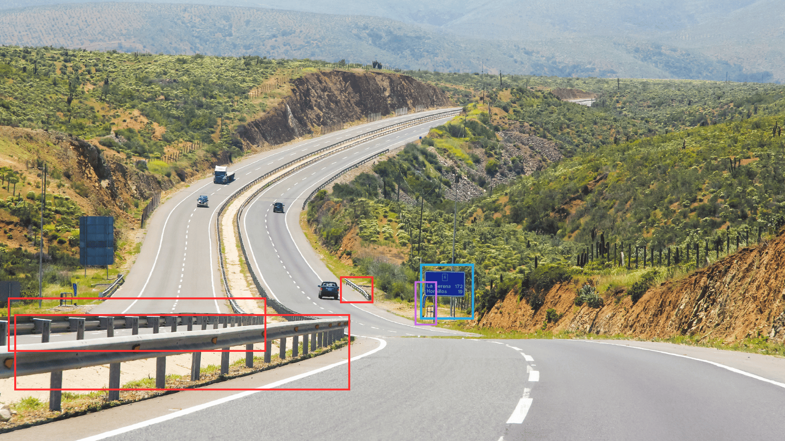
Fisotec’s 360º inventory utilizes Mobile Mapping technology to map urban and interurban infrastructures. Equipped with cameras and LiDAR sensors, our vehicles collect images and point cloud data to accurately geoposition urban entities, ranging from signage to public lighting.
Algorithm and Artificial Vision: The Perfect Combination
Our algorithm, trained with over 500,000 images, identifies entities in urban and rural environments. Combined with artificial vision and LiDAR, we provide automated geopositioning and precise verification of infrastructure status for maintenance. Some of the fields where we use this combination include:
- Vertical and horizontal signage
- Urban and interurban roads
- Public lighting
- Green areas
- Sanitation networks
- Urban furniture
Ubiqua-IA: The Innovative Platform
Ubiqua-IA is an advanced platform that collects data from Mobile Mapping. Through automated algorithms, this platform is capable of automatically geopositioning and determining the status of entities, facilitating precise and efficient maintenance tasks.
Virtual Tours: A 360º View
We offer virtual tours that allow operators to collect data indoors and outdoors, providing detailed analysis of emblematic buildings and urban infrastructures. These virtual tours are applicable in:
- Buildings
- Energy facilities
- Industrial installations
- Sanitation networks
- Roads and bridges
Success Stories
Below are some of Fisotec’s recent projects in this area:
Lighting and Vertical Signage on Calle 30, Madrid: We improved mobility and environmental balance in the city by precisely identifying lighting installations and vertical signage, using Mobile Mapping with Leica Pegasus.
360º Virtual Tour in Alcaudete: We created an immersive tourist experience in Alcaudete, combining images and sounds for an intuitive and interactive digital platform.
Signage Inventory in Caravaca de la Cruz: We updated the inventory of lighting and signage, capturing data efficiently and achieving precise geopositioning for urban maintenance.
