GIS and Urban Mobility: Solutions for More Efficient Traffic
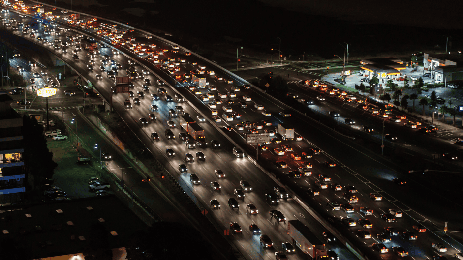
We live in an era of rapid urban growth, with cities expanding and densifying at an unprecedented rate. This massive urbanization brings with it significant challenges in terms of mobility and traffic. Jams, air pollution, and mobility inefficiencies are problems urban planners face every day. How can we address these challenges and plan for a greener and more efficient future? At Fisotec, we believe the answer lies in integrating Geographic Information Systems (GIS) into urban mobility planning and management.

How are GIS useful in urban mobility?
GIS are powerful tools that allow for the capture, storage, analysis, and visualization of geospatial data. In the context of urban mobility:
- Modeling and simulation: GIS allow the simulation of traffic flows based on historical and current data, helping to anticipate problems and propose solutions before they are implemented.
- Route optimization: Using advanced algorithms, GIS can suggest the most efficient routes, whether for individual vehicles or public transport systems.
- Identification of conflict points: Through data analysis, it’s possible to identify high-congestion areas or places prone to accidents, facilitating the implementation of corrective measures.
- Urban planning: GIS provide a detailed view of land use, enabling the design or redesign of urban infrastructures, such as roads, bridges, and public transport systems, based on current and future needs.

Solutions to address traffic issues
How can GIS address difficulties and challenges associated with mobility in cities and municipalities?
- Route design: Through GIS, we can consider variables such as distance, time, congestion, and existing infrastructure to design routes that minimize travel times and maximize efficiency.
- Fleet management: Companies that rely on vehicles for their operations can greatly benefit from GIS. These tools allow real-time monitoring of vehicle locations, prediction of arrival and departure times, and route optimization based on traffic conditions.
- Alert systems: GIS can be integrated with alert systems that notify drivers of adverse conditions or traffic jams, enabling informed decisions about alternative routes.

Examples of GIS use in urban mobility and traffic worldwide
GIS are a fundamental tool in urban mobility planning and management, offering innovative solutions to face the challenges of modern urbanization. What examples exist worldwide of using this technology in urban traffic?
- Singapore: This city-state uses GIS to model and plan its public transport system, including station locations and route optimization.
- Barcelona: Through its “Smart City” program, Barcelona has implemented GIS systems that monitor traffic in real-time, providing valuable data for urban traffic planning and management.
- Portland, Oregon: This city uses GIS to analyze traffic patterns and plan more sustainable transport infrastructures, such as bike lanes and public transport routes.
We want you to be part of Fisotec through upcoming “Did you know?” segments. Get involved and send us your suggestions at hello@fisotecsolutions.com